Aerial Surveys and Mapping
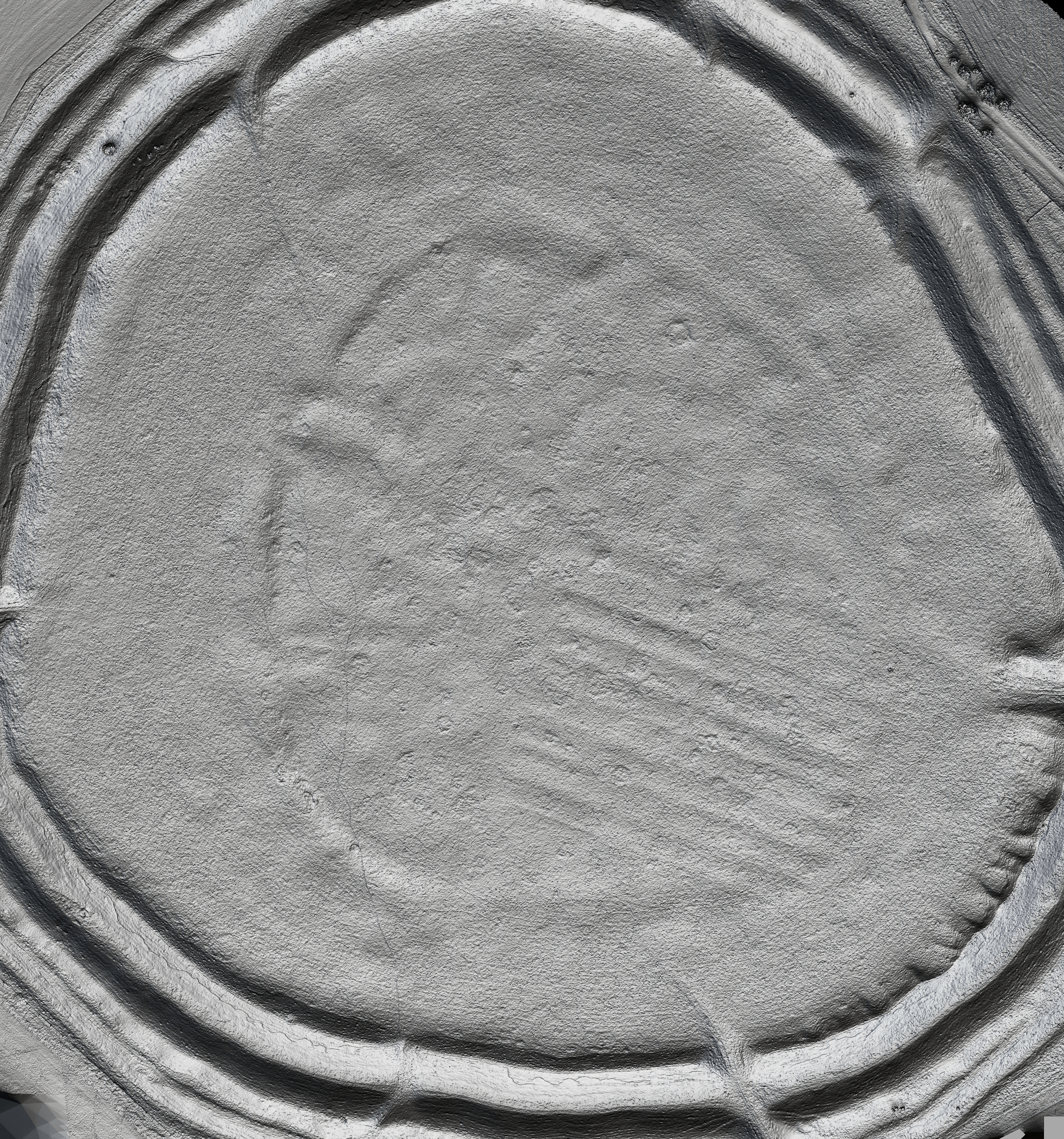
Digital Surface Models and Orthomosaics
By processing data sets into a variety of different visualisations we can create layers with which to review the data, make comparisons and take measurements.
Below is an image comparison slider of an Orthomosaic Image and a DSM (Digital Surface Model) of the Hillfort at Yarnbury in Wiltshire.


Through extensive post processing of the data we can provide enhanced visualisations to help specialists with analysis.