
Aerial mapping and surveying using drones is one of the most exciting and useful areas that this new technology has allowed. At Waypoint Aerial, we use both Photogrammetry and LiDAR to provide our clients with the most accurate data possible.
LiDAR ( Light Detection and Ranging) uses Laser Scanning technology to create point cloud models, this combined with RTK (Real-Time Kinectics) positioning creates a very high level of Geo-location accuracy.
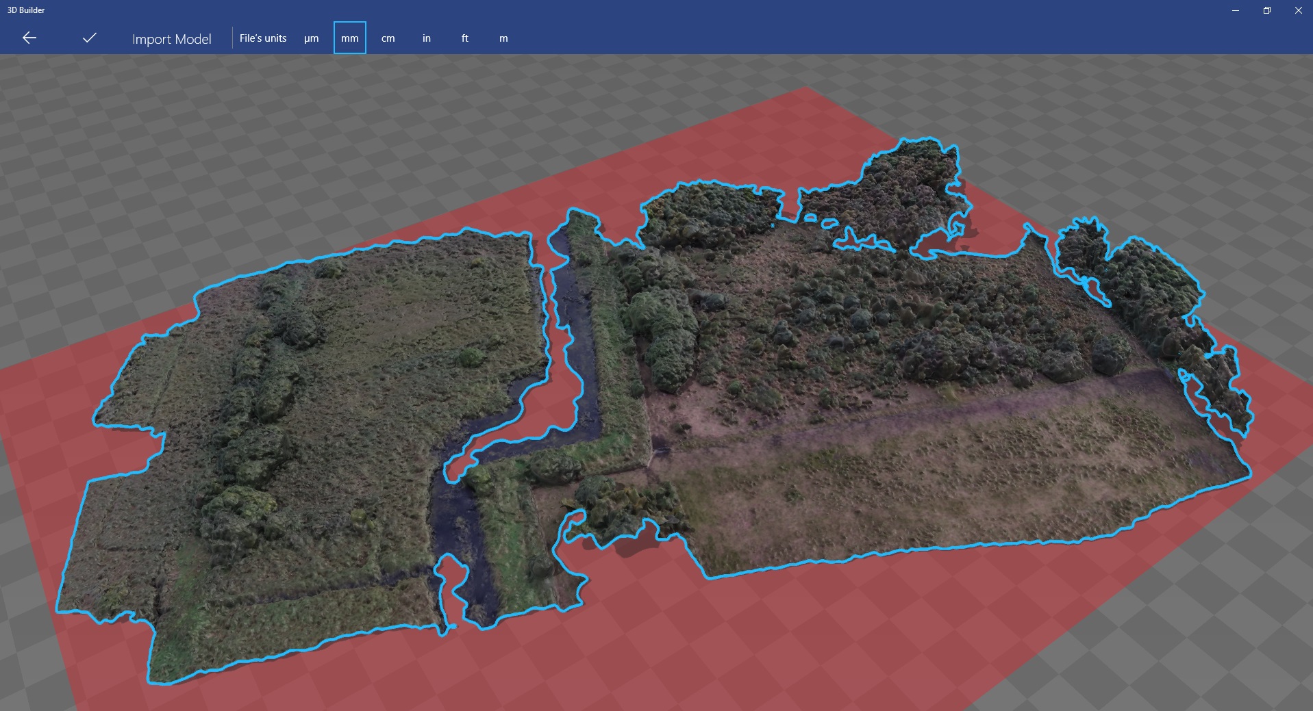
Aerial mapping is the process by which a series of over-lapping, Geo-located images are recorded by a drone (UAV – Unmanned aerial vehicle) along a pre-defined flightpath. These images are then processed using specialised software that can produce geo-located 3d models with a ground sampling resolution of up to 1.7cm/pixel from an altitude of 40m above ground level.